Myanmar may have rain till May 9 due to the rainclouds split from the cyclone “Fani” which will hit India, said meteorologist Chit Kyaw.
“The storm will not hit Myanmar but Myanmar will have rain till May 9. Myanmar will have monsoon rain and it will enter delta areas on May 25,” he said.
According to the observations made by the Department of Meteorology and Hydrology (DMH) on May 2, the extremely severe cyclonic storm "Fani" over the west central Bay has moved north-northeastwards. It is centered at about 245 miles south-southwest of Puri, 130 miles south-southeast of Vishakhapatnam and 380 miles south-southwest of Digha, India. It is forecast to move north-northeastwards.
It is not moving towards Myanmar coasts, the present stage of the storm is coded yellow stage. It is located at Latitude 15.9 degree North and Longitude 84.5 degree East, centre pressure of storm is 958 hpa and maximum wind speed near the center is 115 miles per hour, it said.
It is forecast to move north-northeastwards and cross ODISHA Coast between Gopalpur and Chandbali during next 48 hours.
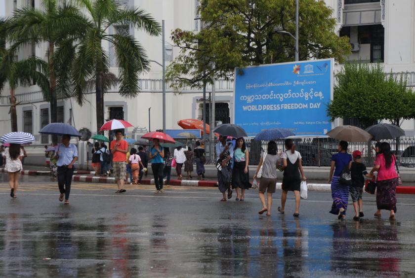
Under the influence of the storm, rain or thundershowers will be fairly widespread in upper Sagaing, Yangon and Thanintharyi regions, Kachin, Chin, Kayin and Mon states, isolated to scattered in Nay Pyi Taw, lower Sagaing, Mandalay, Magway, Bago, and Ayeyawady regions, Shan, Rakhine and Kayah states with isolated heavy falls in some areas from May 2 to 4.
Occasional squalls with rough seas will be experienced off and along Myanmar coasts. Surface wind speed in squalls may reach (40-45) m.p.h. Wave height will be about (10-13) feet off and along Myanmar coasts. Under the influence of the storm, people using domestic flight, trawlers, vessels and ships off and along Myanmar Coasts should be aware of, it said.