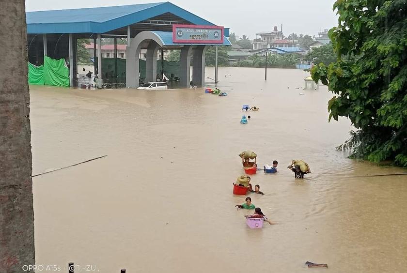
According to the measurement taken at 9:30 AM on July 1, the Ayeyawady River water level in Myitkyina has risen above the danger level by more than four feet and continues to rise at a rate of about three inches per hour, the Myitkyina Meteorology and Hydrology Department reported.
Currently, the water level has exceeded the danger mark of 1,200 centimeters, reaching 1,330 centimeters. After reaching the danger level at 6:30 PM on June 30, the water level has risen by nearly four feet within 12 hours.
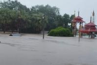
Presently, low-lying areas in Myitkyina are flooded. Due to the rising water levels overnight, displaced families from Lekon neighborhood, who had relocated due to conflict, are facing difficulties.
“Since around 4 AM, we have been calling for help, but no social welfare organizations could be reached. Even now, people are shouting for help. We are just praying for daylight. There's no electricity and no phone signals,” a local resident reported.
The Meteorology and Hydrology Department has issued a warning that the Ayeyawady River could rise by six to ten feet in Myitkyina, Bhamo, Shwegu, Katha, Thabeikkyin, Mandalay, and Sagaing.
In 2004, the Ayeyawady River reached a level of 1,407 centimeters; in 1997, it reached 1,411 centimeters; and in 1979, it reached 1,413 centimeters.