
The Dokhtawady River remains about 3 feet above the danger level at Myitnge and is expected to fall by around half a foot over the next 24 hours, according to the Department of Meteorology and Hydrology (DMH).
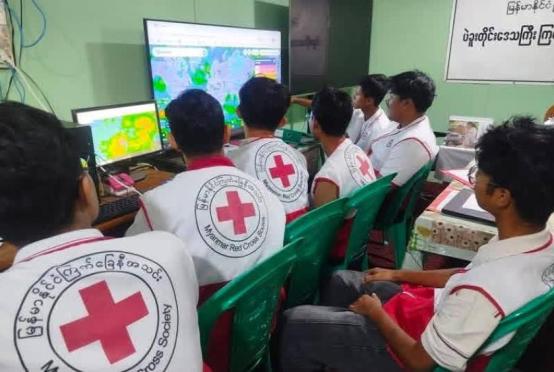
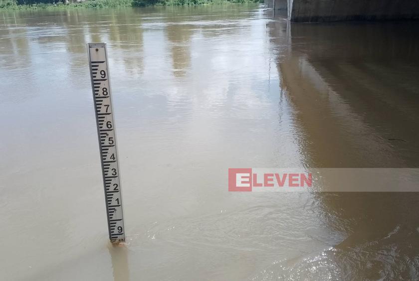
Due to continuous heavy rainfall in upstream areas, the Dokhtawady River, which originates in the upper part of Hsipaw Township in northern Shan State, rose above the danger level of 870 centimetres at Myitnge on August 8. According to measurements taken at 1:30 pm on August 13, the water level had reached 959 centimetres, the Dokhtawady River Water Level Monitoring Station in Myitnge reported.
“According to the measurement at 5:30 am on August 8, the Dokhtawady River reached 879 centimetres, exceeding the danger level at Myitnge for the first time. It rose to 987 centimetres on August 11. Today, August 13, the water level was measured at 963 centimetres at 6:30 am and 959 centimetres at 1:30 pm, so it is now on a declining trend. However, the Ayeyawady River downstream is still backing up the water, which is why the Dokhtawady River remains above the danger level at Myitnge,” an official from the Dokhtawady River Water Level Monitoring Station in Myitnge said.
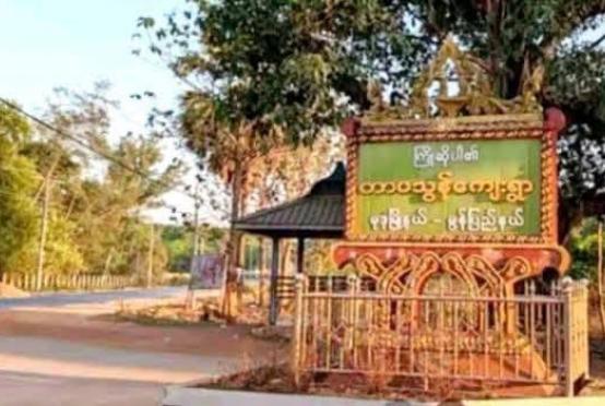
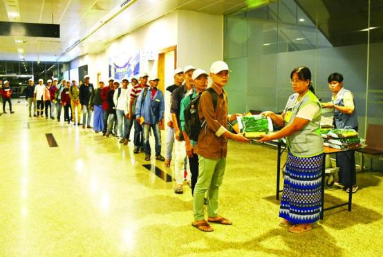
As the Dokhtawady River has risen above the danger level at Myitnge, floodwaters have entered villages in Amarapura, Sintgaing, Paleik, Tada-U and Innwa townships, and residents are reportedly being relocated to safer areas.
The Dokhtawady River, which flows through Hsipaw Township in northern Shan State, joins the Ayeyawady River near the Sagaing-Innwa area. The Ayeyawady River downstream of Sagaing is also reportedly above the respective danger levels at Myinmu, Pakokku and Nyaung-U.
The Dokhtawady River reached a record-high water level of 1,048 centimetres at Myitnge in October 2006. This was nearly 6 feet above the danger level and was the highest water level recorded in more than 60 years since the establishment of the river monitoring station.