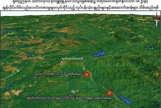
The water level of the Thaungyin River continues to rise due to heavy rains triggered by Cyclone Wipha, causing flooding in low-lying areas of Myawaddy and neighboring Mae Sot on the Myanmar-Thai border.
By around 8:00 p. July 23, floodwaters had reached areas around Moegyoke Market on Kyaw Khin Road and extended into residential neighborhoods. The river, fed by Walley Creek, Gawli Creek, and Mae Kala Creek south of Myawaddy, has overflowed its banks, flooding areas near Kyauk Pya Gate (Ward 4), Thayet Pin Gate (Ward 5), Thay Pon Gate (Ward 2), Khun Sa Win Ok Chai, and Sein Naga Hotel Road.
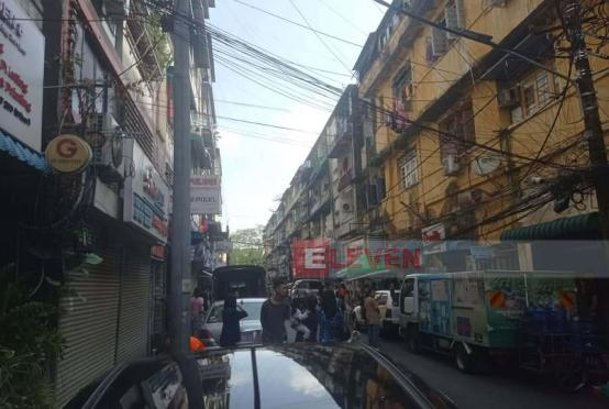
In Mae Sot, on the opposite side of the river, streets were submerged and many shops were forced to close. After 9:00 pm., floodwaters also entered the east side of Kyaankhin Road near Friendship Bridge and spread along both sides of Bayint Naung Road.
"The water has entered our basement. We’re staying upstairs for now, but if the rain continues, we’re not sure even the upper floor will be safe. We were flooded twice last year, so we’re trying to stay prepared,” said a resident of Ward 3 near Moegyoke Monastery.
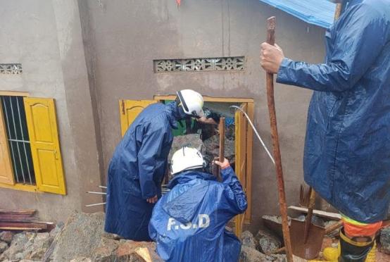
Rescue efforts are underway, with the Myawaddy Township Police, Township Development and Rural Affairs officials, and the Fire Brigade using three rescue boats in Wards 1 and 2 to assist affected residents. The Myawaddy District Disaster Management Team has opened 11 relief camps across affected wards and is coordinating with charitable organizations to support evacuations and provide shelter.