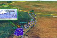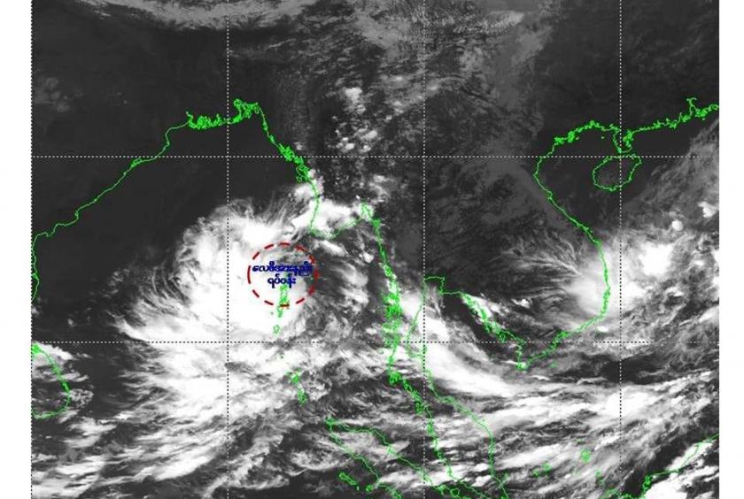
The low pressure area on North Andaman Sea may intensify into a depression within 48 hours and needs to be careful as it is located near Myanmar coast, said Hla Tun, Deputy Director of the Department of Meteorology and Hydrology (DMH).
According to the observations made by the DMH on November 4, the low pressure area over the North Andaman Sea still persists. It is forecast to move West-Northwest wards and may further intensify into a depression over East-central Bay of Bengal during next 48 hours.
“Myanmar will have more rain and it is located near delta areas of Myanmar. It will move to west-northwest and Myanmar will have more rain. Strong wind and high tides may occur in Myanmar coast,” he said.
At the present, the forecast showed it will move to west-northwest and it is still needed to be observed the direction of the storm, he said.
“We cannot tell exactly at the present and we forecasted it will only intensify into a depression. It may further intensify,” he said.
Rain or thundershowers will be fairly widespread in Bago, Yangon, Ayeyawady and Taninthayi regions and Kayah, Kayin and Mon states, scattered in Nay Pyi Taw, lower Sagaing, Mandalay and Magway regions and Shan (South and East) and Rakhine states, announced the DMH.
Occasional squalls with rough seas will be experienced Deltaic, Gulf of Mottama, off and along Mon-Taninthayi coasts. Surface wind speed in squalls may reach 40 mph. Sea will be moderate elsewhere in Myanmar waters. Wave height will be about 8-12 feet in Deltaic, Gulf of Mottama, off and along Mon-Taninthayi coasts and about 4-7 feet off and along Rakhine coast, according to the announcement.