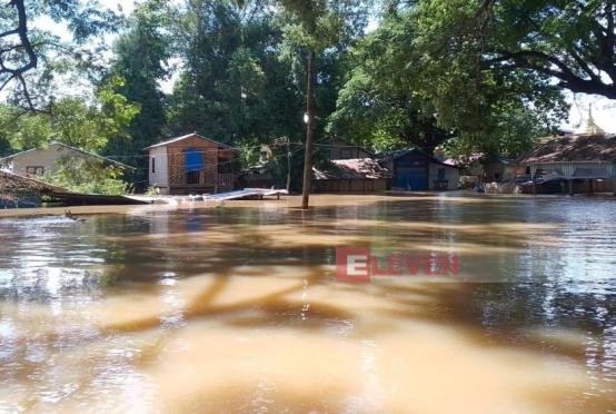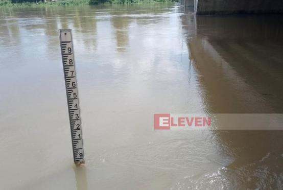

Authorities in Ayeyawady Region are stepping up disaster preparedness measures as water levels in the Ayeyawady and Ngawun rivers continue to rise during the rainy season.
The regional government, lawmakers, and local organizations are jointly implementing flood preparedness and emergency response plans in the delta region, where embankments play a vital role in protecting lives, property, and farmland from seasonal flooding.
During an inspection of flood protection works, Ayeyawady Region Chief Minister U Aye Kyaw said the region, situated in the Ayeyawady Delta, receives runoff from the upper reaches of the Ayeyawady and Chindwin rivers. Heavy rainfall in the upstream areas significantly increases river flows, raising the risk of flooding across the low-lying delta.
He noted that although the region's flat terrain is highly suitable for agriculture, it is also vulnerable to inundation when the Ayeyawady River and its tributary, the Ngawun River, overflow. Embankments have therefore been constructed to protect valuable farmland, making flood prevention measures essential for safeguarding rice cultivation and minimizing damage during the monsoon season.
The Chief Minister also urged farmers and local residents to comply with embankment protection regulations to ensure the long-term integrity of the flood defense system.
Speaking on parliamentary oversight of flood protection works, Joint Committee Chairman and regional parliament representative U Kyaw Win Naing recalled several major embankment failures in the past. He said the Eaik Pyat embankment breach in 1974 flooded nearly half of the region's townships, while the Htin Ngu embankment failure in 1991 inundated nine or ten townships throughout an entire rainy season, severely disrupting farmers' livelihoods and the local economy. Another embankment at Kyawe Tegone failed in 1997, but caused relatively limited damage because river levels were lower at the time.
He said the regional parliament has submitted proposals and established a joint committee to help prevent similar disasters, with members conducting field inspections and working closely with relevant departments to monitor embankment safety.
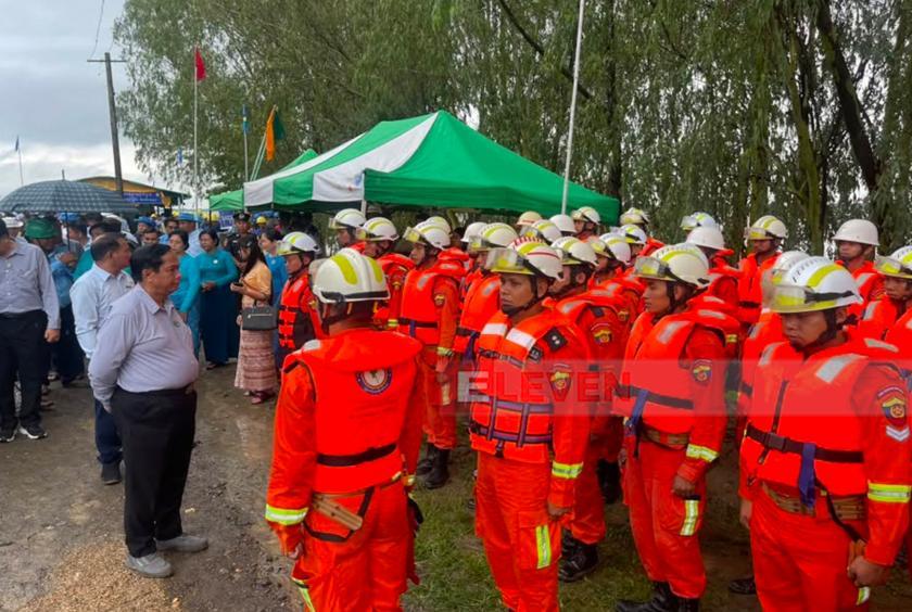
Disaster management committees have also been formed at the regional, district, and township levels, with authorities encouraging active public participation alongside government departments.
An official from the Hinthada District Network Social Assistance Association said the district has strengthened disaster preparedness by coordinating in advance with local and volunteer humanitarian organizations from other areas. Based on previous flood response experience, the association has prepared rescue vehicles, emergency equipment, and speedboats, while also conducting flood rescue drills jointly with the Fire Services Department.
According to the Irrigation and Water Utilization Management Department, Ayeyawady Region has 64 embankments extending a combined 1,321.67 miles, protecting more than 1.7 million acres of flood-prone farmland. Of these, eight major embankments, with a combined length of about 400 miles, serve as the region's primary flood defenses during the rainy season, safeguarding more than 1.1 million acres of agricultural land.