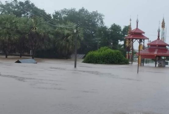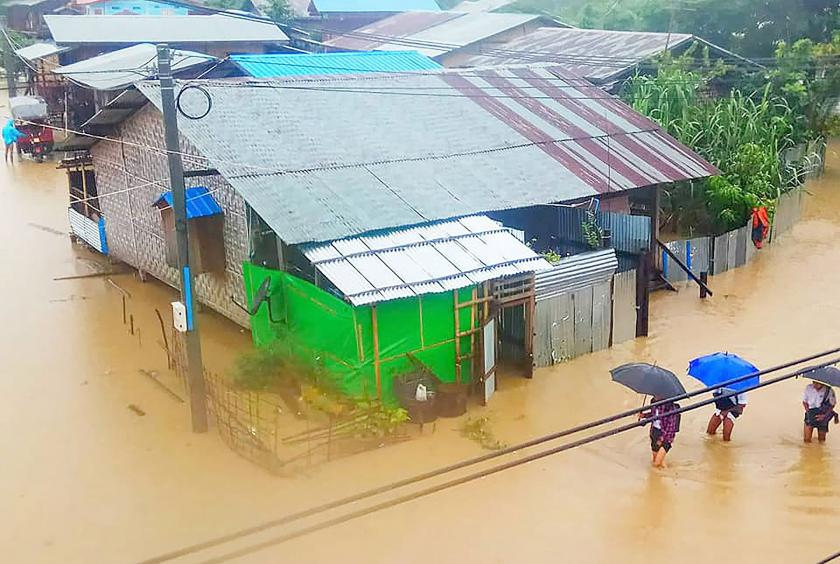
Floods covered some areas of Mogaung, Kachin State on July 25, sources said.
Water levels in Nantyin Creek and Nantkaung Creek reached 632 and 607 centimeters respectively on July 25.
Flood water covered Ywarthit ward in Mogaung and families from four houses were evacuated, according to Mogaung police force.
“Most of the wards in Mogaung usually gets covered with flood water if the water levels exceeded past danger level. Now the flood water is about one foot in depth. We are reinforcing the embankment from Lwelew Village,” said Police Inspector Myint Naing.
According to the observation made by the Department of Meteorology and Hydrology of Mogaung on July 24, water levels in the creeks are increased as the town had 2.2 inches of rainfall.
Flood broke the record in Mogaung in 2015 and it covered the whole town as water levels in Nantyin Creek and Nantkaung Creek were reached to 695 and 670 centimeters respectively.