
A depression occurred over Bay of Bengal may change into a deep depression within 24 hours and people living near small rivers and streams need to be careful of flash floods, announced the Department of Meteorology and Hydrology (DMH).
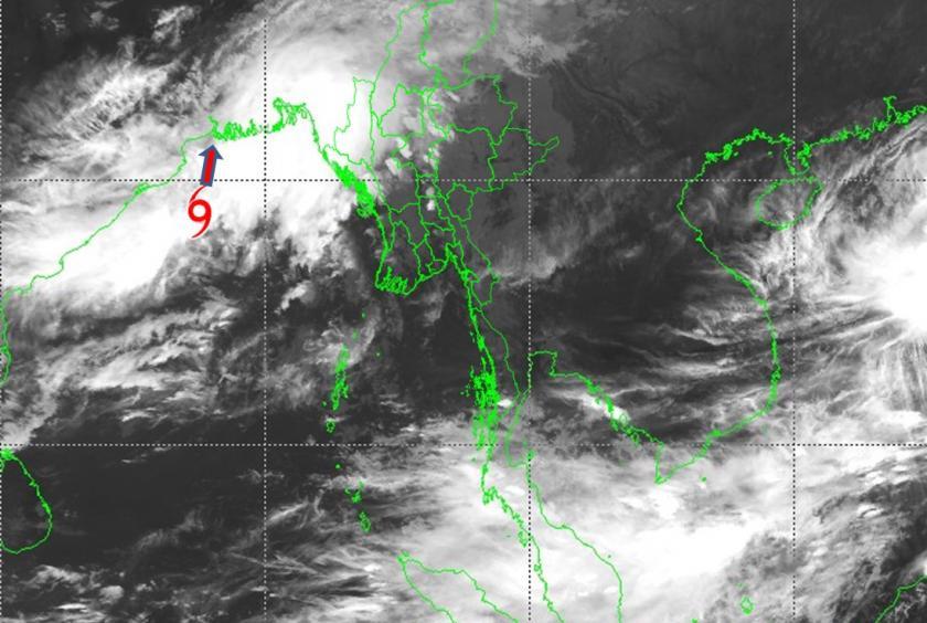
According to the observations made at 12:30 pm on October 22, the low pressure area over west central Bay of Bengal has intensified into a depression over northwards and adjoining west central Bay of Bengal. It is centered at about 100 nautical miles south-southeast of Paradip and about 190 nautical miles south- southwest of Sagar Islands (India), about 270 nautical miles south- southwest of Khepupara (Bangladesh) and about 330 nautical miles west-southwest of Maungdaw, it said.
The highest wind speed will be 35 mph and it may intensify into a deep depression within 24 hours. It will move to north-northeast and may enter West Bengal State (India) and adjoining the coast of Bangladesh between Sagar Islands (India) and Khepupara (Bangladesh), it said.
Rain or thunderstorms will be from fairly widespread to widespread in Nay Pyi Taw, Sagaing, Mandalay, and Magway regions and Kachin, Chin, and Rakhine states with likelihood of isolated rainfall between October 22 and 24, it said.
Squalls with moderate to rough seas are likely occasionally at Deltaic, off and along Rakhine coasts. Surface wind speed in squalls may reach 35-40 mph and wave height will be about 7-10 feet Deltaic, off and along Rakhine coasts, it said.
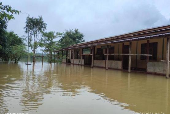
Strong wind, flash floods and landslides may occur along with heavy rain due to the effects of the storm. People living near highlands need to be careful of landslides and people living near small rivers and streams need to be careful of flash floods, warned the DMH.