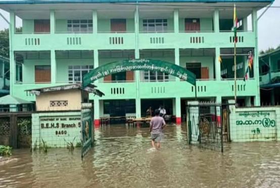

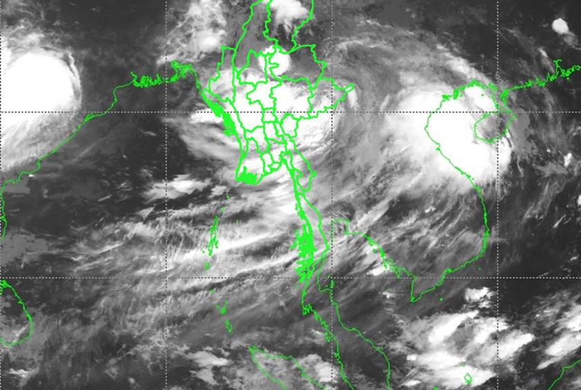
According to the Department of Meteorology and Hydrology (DMH), a tropical storm that formed along the China-Myanmar border is currently moving across central Myanmar.
As of 5:30 a.m. on September 9, the storm had shifted towards the west-northwest and is expected to continue moving in that direction.
The department has predicted that the storm will keep advancing towards the west-northwest.
Currently, strong monsoon winds are affecting the Bay of Bengal and the Andaman Sea, leading to widespread cloud formation across the country.
As a result, increased rainfall is expected over the next few days in Nay Pyi Taw, Sagaing , Mandalay , Magway and Bago regions, Shan , Chin , Rakhine , Kayah, Kayin and Mon states.
Additionally, the department forecasts heavy rain across various regions until this afternoon, including Nay Pyi Taw, Sagaing , Mandalay , Magway , Bago , Yangon , Ayeyarwady and Taninthayi regions, Kachin, Shan , Chin, Rakhine, Kayah, Kayin and Mon states.
Isolated areas in some of these regions, particularly in Bago, Yangon, Ayeyawady, Kachin, and Kayah, could experience very heavy rainfall.