
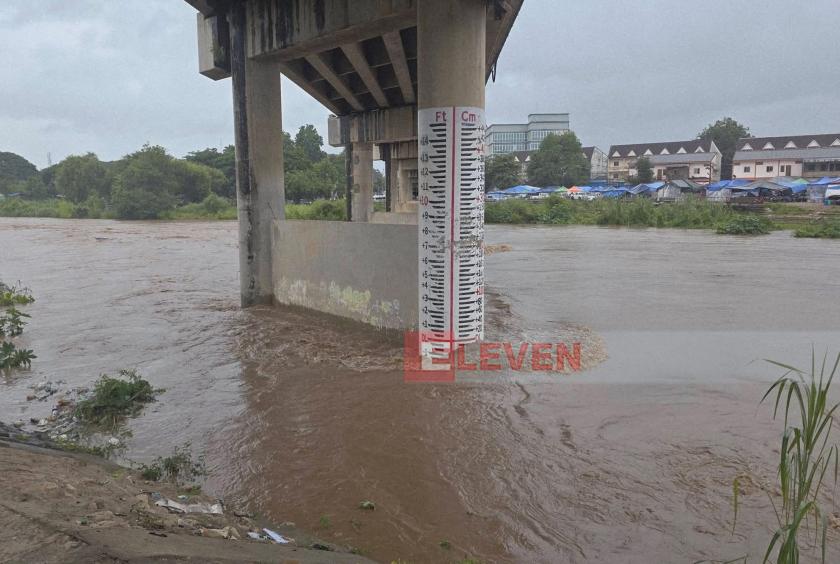
According to measurements taken at 6:00 a.m. on July 12, the water level of the Moei (Thaungyin) River had not yet reached the danger level in Myawaddy. However, it is forecast to rise to 95 centimeters above the danger level within the next 24 hours.
According to measurements taken at 6:00 a.m., the river had not yet reached the danger mark but was forecast to rise as much as 95 centimeters above it within the next 24 hours. By 12:00 p.m., however, the river had already exceeded the official danger level of 963 centimeters.
Authorities attributed the rapid rise to persistent heavy rainfall in the headwaters of the Gawli and Walay streams at the foothills of the Dawna Mountain Range, warning that flooding along the Thaungyin River is likely.
Rain continued across Myawaddy Township, with 0.32 inches of rainfall recorded on July 12. Residents living along the riverbanks and in low-lying areas have been urged to remain alert for flooding and to move valuables and portable belongings to safer locations in advance.
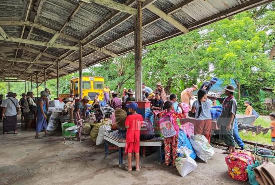
Flooding has become an annual occurrence in Myawaddy due to continuous rainfall over the Dawna Mountains. This year, local authorities have prepared 11 evacuation and flood relief centers as part of disaster preparedness measures to support residents if flooding worsens.