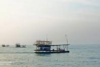

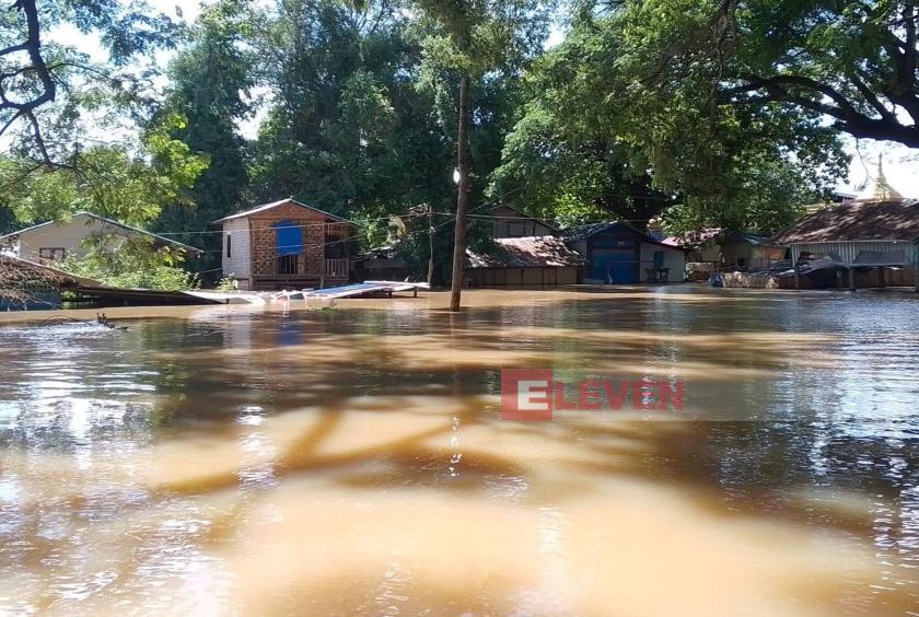
The Ayeyawady River in Sagaing Region has risen to within about one foot of the city’s danger level, with floodwaters beginning to enter some low-lying urban wards and areas near the riverbank, according to local sources.
The river is expected to reach Sagaing’s danger level within 24 hours. Evacuations have already been underway in urban wards affected by rising river water since August 7.
As of 12:30 p.m. on August 11, the Ayeyawady River in Sagaing had reached 1,122 centimeters, leaving only about one foot before reaching the danger level. Meanwhile, water levels in the downstream towns of Myinmu, Pakokku and Nyaung-U have already risen above their respective danger levels.
The Dokehtawady River has also risen to about four feet above the danger level in Myingyan Township, Mandalay Region.
“The Dokehtawady , Mu and Chindwin rivers downstream are contributing to the water level, causing the water to back up in Sagaing. Under these conditions, the river level has been rising by more than one foot a day, so it could reach Sagaing’s danger level within 24 hours. We are currently monitoring and measuring the river level every hour. Relevant departments have designated and opened evacuation camps in wards that are regularly affected by flooding, and residents have been relocating since August 7,” said U Ko Ko Naing, head of the Sagaing District office of the Department of Meteorology and Hydrology.
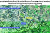
The danger level of the Ayeyawady River in Sagaing is 1,150 centimeters. Once the river reaches that level, flooding usually occurs in several of the city’s 19 wards, including Walet, Thawtar Pan, Htonebo, Sein Kone, Tagaung, Ayeyawady, Thawda Market, Bawga, Chin Su and Pantan.
“Evacuation camps have been designated at locations such as the Shwe Si Thaing Pagoda compound in Tagaung Ward, the Thitkanet Pagoda compound in Htonebo, and near the military outpost in Ayeyawady Ward. According to the latest records, 64 households have already been relocated,” U Ko Ko Naing added.
The Ayeyawady River reached a record high of 1,247 centimeters in Sagaing in July 2004. That level was more than four feet above the city’s danger level and was the highest water level recorded in more than 30 years since the river monitoring station was established.