
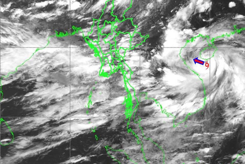
The Department of Meteorology and Hydrology (DMH) has announced that remnants of Typhoon Kajiki, currently active over the South China Sea, may reach Myanmar between August 26 and 29, bringing heavy rainfall to some regions and states.
According to the statement, strong monsoon winds may develop over the Bay of Bengal and the Andaman Sea. Typhoon Kajiki is expected to move northwestward across Vietnam and Laos, with its remnants likely to extend into Myanmar. In addition, a low-pressure system is forecast to form over the northwest Bay of Bengal (off the coasts of Odisha, India, and West Bengal) around August 26.
As a result, scattered to widespread rain is expected between August 26 and 29 in Upper Sagaing Region and Kachin State, while isolated to fairly widespread rain is forecast for Nay Pyi Taw, Yangon, Mandalay, Bago, Magway, Lower Sagaing, Ayeyarwady, and Tanintharyi Regions, as well as Kayah, Kayin, Chin, Mon, Rakhine, and Shan States. Some areas may experience heavy rainfall.
Occasional strong winds and rough seas with waves of 10 to 12 feet are expected over the Delta region, Gulf of Mottama, Mon and Tanintharyi coastal areas, and offshore waters. Wind speeds during squalls may reach 30–35 miles per hour.
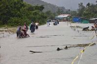
The DMH warned that these conditions could trigger natural hazards such as strong winds, torrential rain, flash floods, landslides, lightning strikes, hail, and local flooding. Residents in hilly areas are advised to beware of landslides, while those living near streams and rivers should take precautions against flooding. Inland water transport, aviation, and dam operations are also urged to prepare in advance.