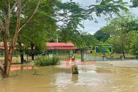

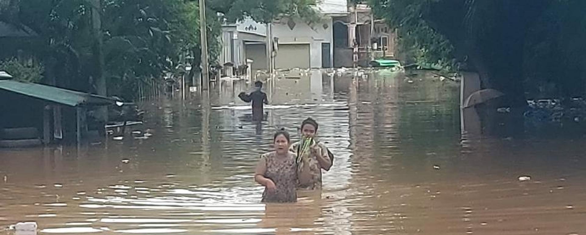
MYAWADY-----Heavy rain in southern part of Dawna Mountain in Kayin State and rising levels of the Moei (Thaungyin) River, which is the borderline between Myanmar Thailand, have triggered floods in most of the lower wards in Myawady town with thousands of flood victims, local sources said yesterday morning.
Due to the depression occurred in Bay of Bengal, heavy rain started in Myawady Township, Kayin State, since the beginning of September 25th and then Wawlay and Kyaukkhat villages had been flooded again.
Myawady and southern areas of the Dawna mountain range are usually prone to floods coming from the Mekala and Wawlay creeks when heavy rain falls.
Since the beginning of September 26th evening, Moei River is swollen and is above it’s over 3-ft of danger level. So, the lower wards near the Moei River embankment and some wards in Myawady downtown were flooded.
Social Welfare Rescue Teams and auxiliary fire brigade members from Myawady Township urgently sent the flood victims to the safer places. As being of September 27th morning, about 3,000 flood victims are now sheltering at the flood relief camps.
Moreover, the Moei River had risen about nine feet above its danger level in Myawady Township in June and July. Due to the effect, hundreds of households were flooded.
In 2013, floods caused by heavy rain submerged Bayintnaung Road in the east of the Friendship Bridge as high as 10 feet, causing some deaths.