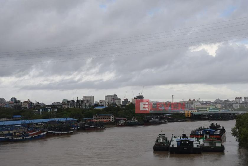
The Department of Meteorology and Hydrology has issued a special weather advisory stating that the remnants of a tropical storm developing in the South China Sea could reach Myanmar, potentially causing scattered heavy rainfall and strong winds in some regions of the country’s states and regions between July 21 and 26.
According to the announcement, the powerful tropical storm "Wipha" forming in the South China Sea is likely to move westward, crossing southern coastal regions of China and northern parts of Vietnam. As a result, the storm’s residual cloud systems may reach Myanmar. Additionally, due to the influence of a low-pressure system expected to develop in the northern Bay of Bengal by July 24 and the continued strengthening of the monsoon over the Andaman Sea and Bay of Bengal, scattered to widespread thundershowers are forecasted from July 21 to 26.
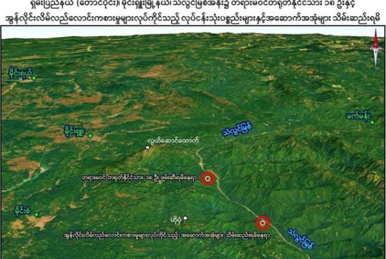
Upper Sagaing Region, Kachin State, and Chin State may experience isolated to frequent rainfall, while Nay Pyi Taw, Yangon Region, Mandalay Region, Bago Region, Magway Region, Lower Sagaing Region, Ayeyarwady Region, Tanintharyi Region, Kayah State, Kayin State, Mon State, Rakhine State, and Shan State could see widespread thundershowers, with some areas experiencing localized heavy downpours.
Furthermore, occasional squalls with rough seas are expected in the delta, the Gulf of Mottama, along the Mon-Tanintharyi coastline, and offshore waters. During these squalls, surface winds could reach speeds of up to 35 mph, with wave heights ranging from 9 to 12 feet in the delta, Gulf of Mottama, coastal areas, and offshore regions.
Due to the potential for heavy rainfall accompanied by strong winds, thunderstorms, lightning, hail, flash floods, and landslides, residents in hilly areas are urged to remain vigilant against landslides, while those near small rivers and streams should be cautious of flooding and overflow. The department also advises necessary precautions for inland waterway transport, aviation, and dam management to mitigate risks.