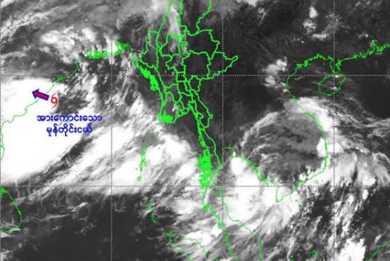

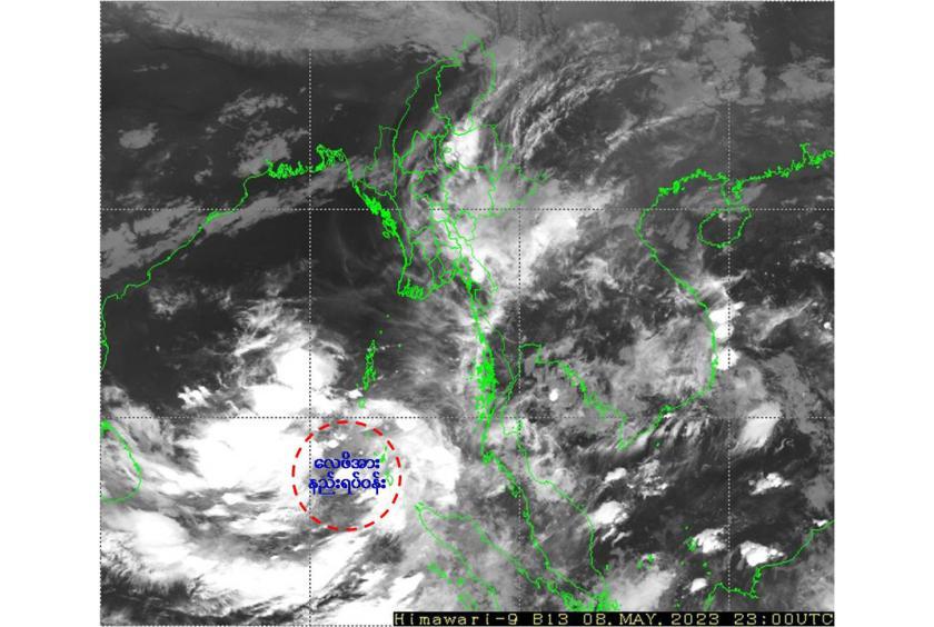
The Department of Meteorology and Hydrology (DMH) announced this morning that the low pressure area over the Southeast Bay of Bengal and adjoining South Andaman Sea still persists.
The DMH also reported that It is likely intensify into a Depression during next (18) hrs and into a Cyclonic Storm over the Southeast Bay of Bengal and adjoining Central Bay of Bengal and Andaman Sea around (10.5.2023). The Cyclonic Storm is likely to move North-Northwestwards and reach to East-central Bay of Bengal around (11.5.2023) and then recurve North-Northeastwards and move to Bangladesh-Myanmar Coasts. Weather is partly cloudy over the North Bay and East-central Bay of Bengal and cloudy over the Andaman Sea and elsewhere over the Bay of Bengal.
So, squalls with moderate to rough seas are likely at times Deltaic, Gulf of Mottama, off and along Mon-Taninthayi Coasts starting from May 9 to 11. The surface win speed in squall may reach (30-35)mph. Sea will be moderate elsewhere in Myanmar Waters. Wave height will be about (7-10) feet in Deltaic, Gulf of Mottama, off and along Mon-Taninthayi Coasts and (4-7) feet off and along Rakhine Coast.
Starting from May 11 to 15, rain or thundershowers will be fairly widespread in Nay Pyi Taw, lower Sagaing Region, Magway, Bago, Yangon, Ayeyarwady Regions, Shan State (east and south), Chin, Rakhine, Kayah, Kayin and Mon States, scattered in Sagaing, Mandalay, Taninthayi Regions and Mon State and isolated in the remaining Regions and States.