
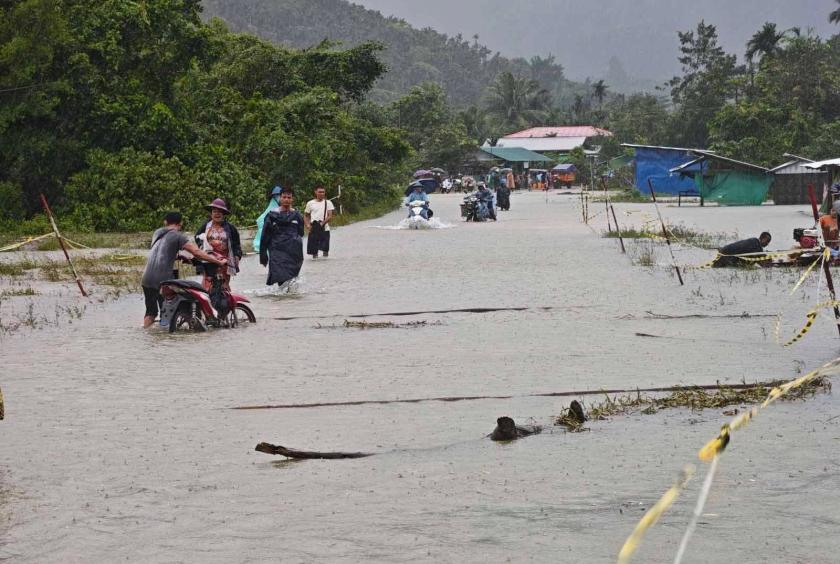
The Taninthayi River has risen above its danger level, prompting the opening of five evacuation shelters as flooding has also inundated sections of the Union Highway in Taninthayi Township, Myeik District, Taninthayi Region.
As of August 30, the river had risen to 24 feet 6 inches, exceeding the danger level of 24 feet. Around 700 people have so far been relocated to five evacuation shelters in the town and surrounding villages, according to an official.
“The water level may rise further. We are still compiling figures and relocating people, so the number is not yet confirmed. The river has risen more than three feet over the Union Highway, making it impassable for small vehicles,” the official said.
Residents whose homes have been inundated are being moved by officials and the Myanmar Red Cross Society to evacuation shelters and nearby higher ground.
The river has risen rapidly following heavy rainfall. On August 28, it stood at 21 feet 2 inches, well above the warning level of 17 feet. By August 30, it had climbed to 24 feet 6 inches, surpassing the danger level.
The Taninthayi River’s warning level is 17 feet, while its danger level is 24 feet.