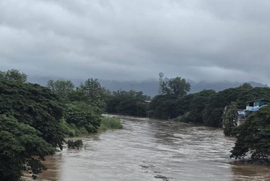


In Taungoo Township, Bago Region, the water level of the Sittaung River reached 634 centimeters on the morning of July 28—34 centimeters (approximately one foot) above the danger level of 600 cm. As a result, flooding has begun in nearby villages and low-lying areas along the river, according to reports.
Continuous rainfall has been recorded in Taungoo in recent days, with nearly 3 inches of rain falling within a single day on July 27.
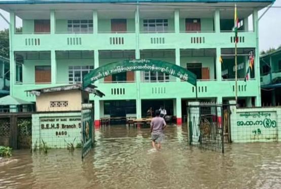
According to the Department of Meteorology and Hydrology (DMH), the Sittaung River stood at 528 cm on the morning of July 27—about 2.5 feet below the danger level. However, by 9 a.m. on July 28, the water level had risen rapidly to 634 cm, exceeding the danger level by over a foot. This sharp increase caused flooding in nearby villages, roads, wards, and rural lowlands.
Emergency evacuations are currently underway, with local authorities, social welfare organizations, and charitable groups assisting affected residents from low-lying villages and neighborhoods to safer areas.
The DMH has issued a warning that the Sittaung River in Taungoo may rise another 2 feet within the next 24 hours and remain above the danger level.
Meanwhile, in Madauk Township in Bago Region—a downstream town on the Sittaung River—the water level has also exceeded its danger mark of 1,070 cm by about 5 feet. Forecasts predict the river could rise an additional foot in the next day and continue to stay above the danger level.
In September 2024, the Sittaung River in Taungoo reached a historic high of 819 cm—over 7 feet above the danger level—marking a record-setting flood. That sudden surge led to severe flooding, during which casualties occurred due to the inability to evacuate in time. Reports indicated fatalities, missing persons, and even the deaths of humanitarian volunteers involved in rescue efforts.